We were sad that it was our final day in Badlands NP. The Cedar Pass Campground had been an incredible basecamp even though it only had electricity. The austere landscape was so tranquil.
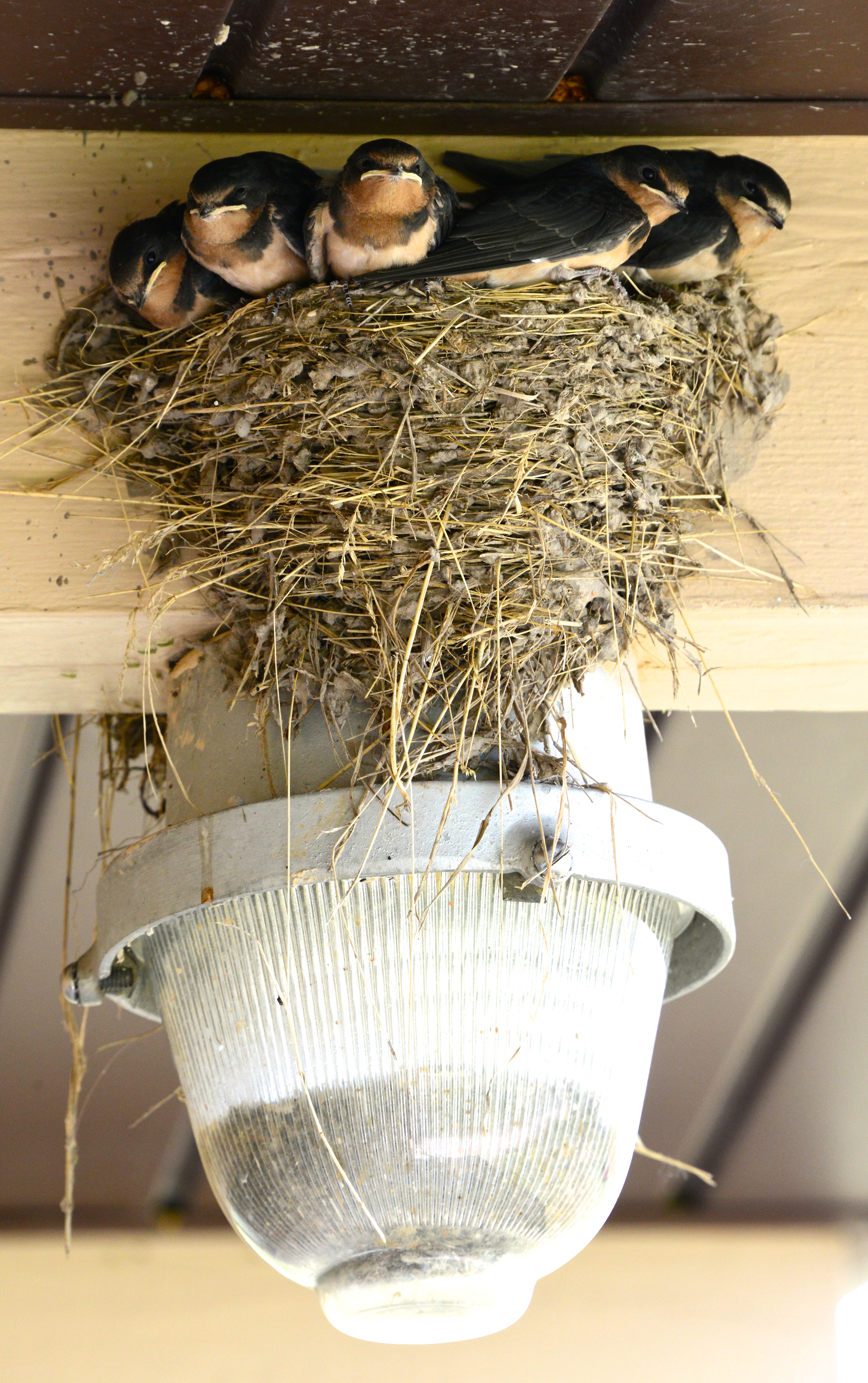
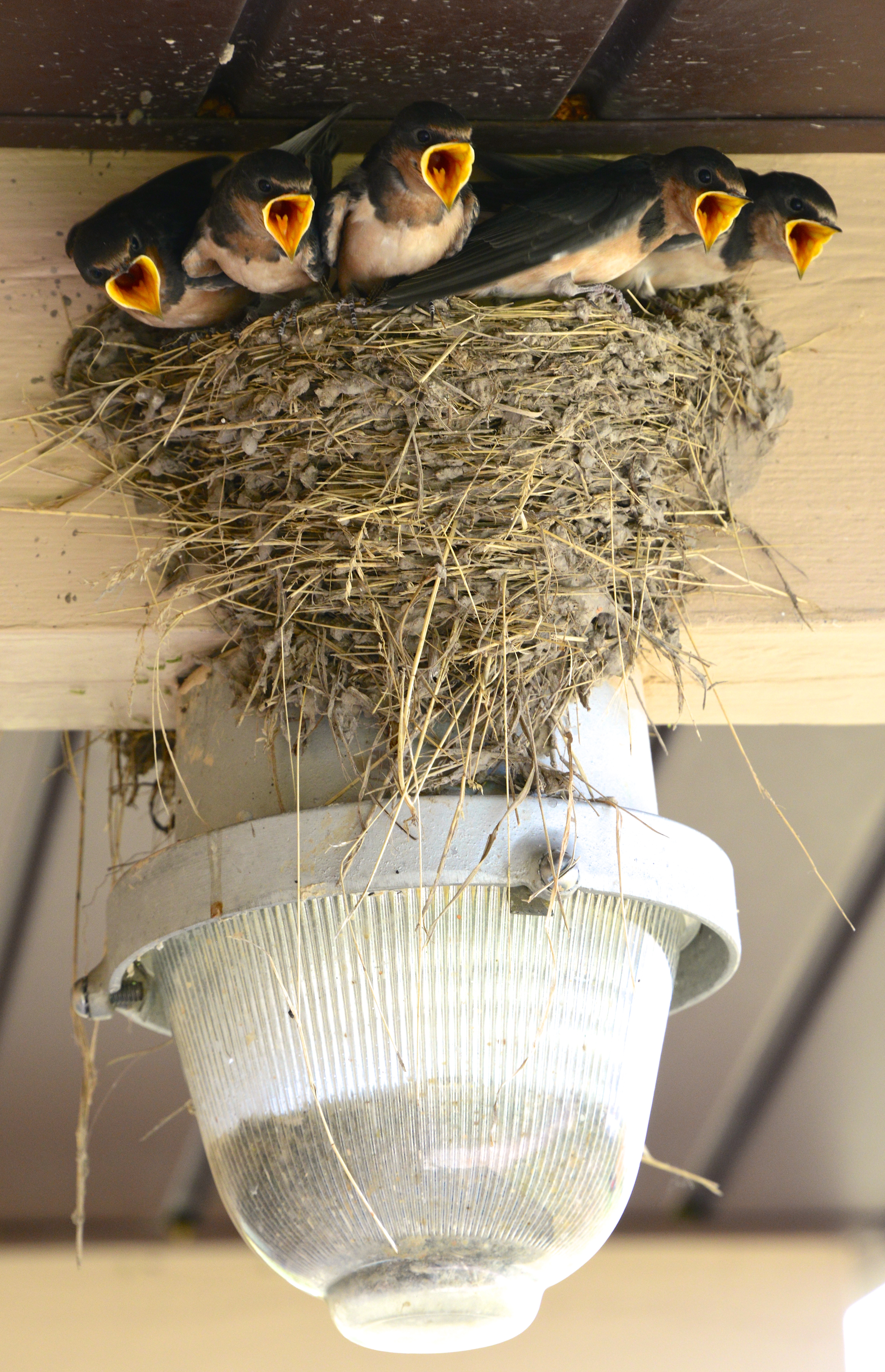
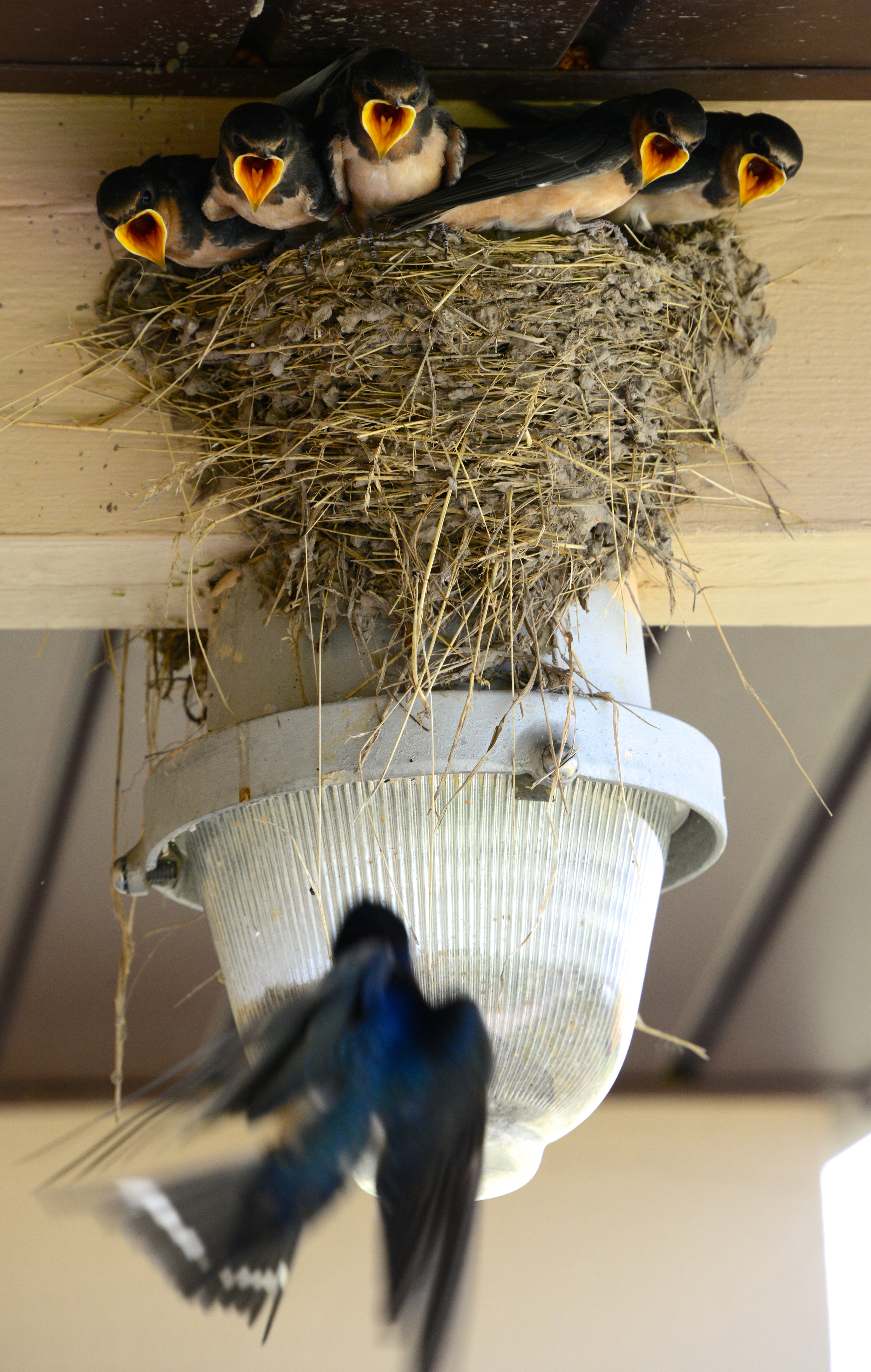
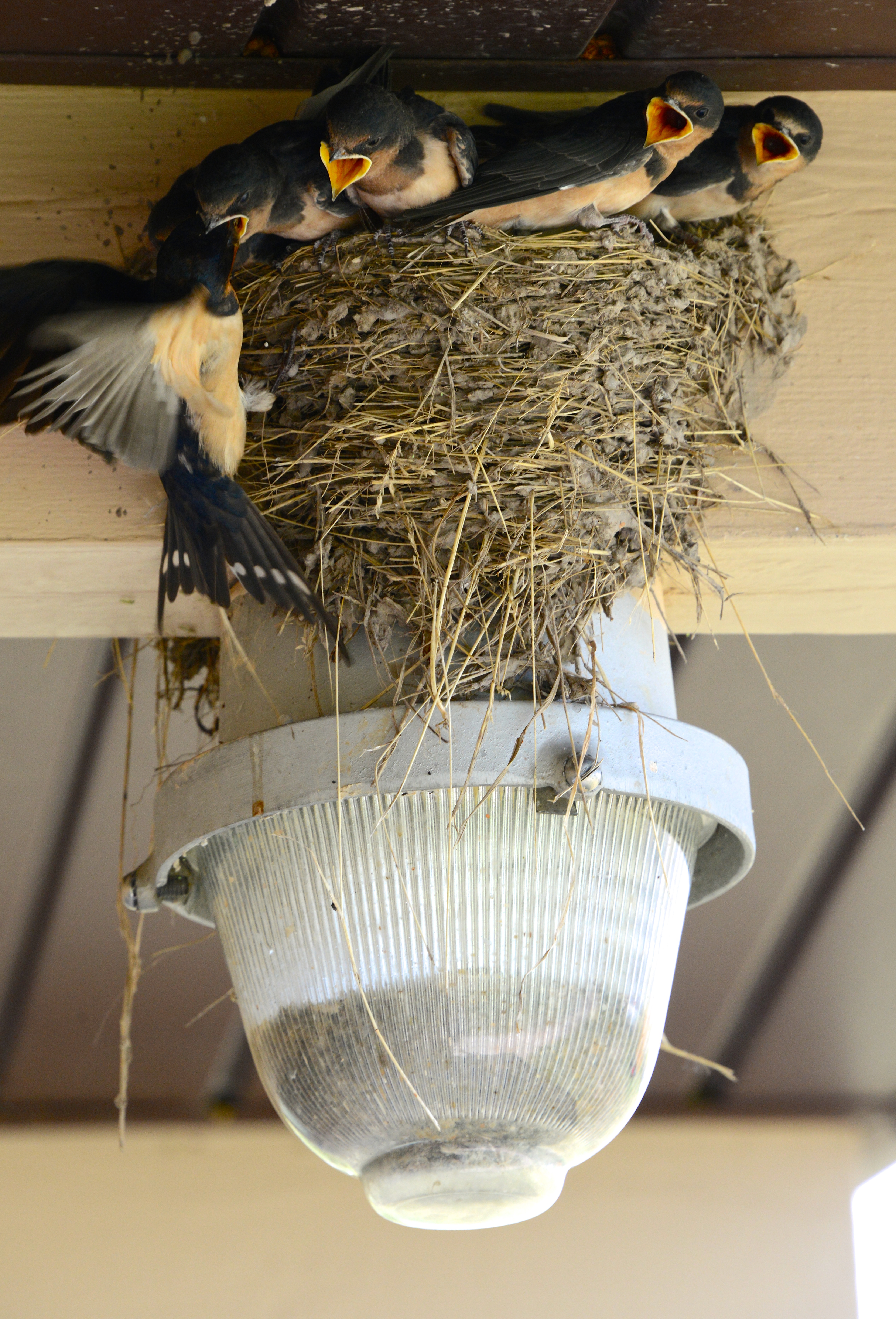
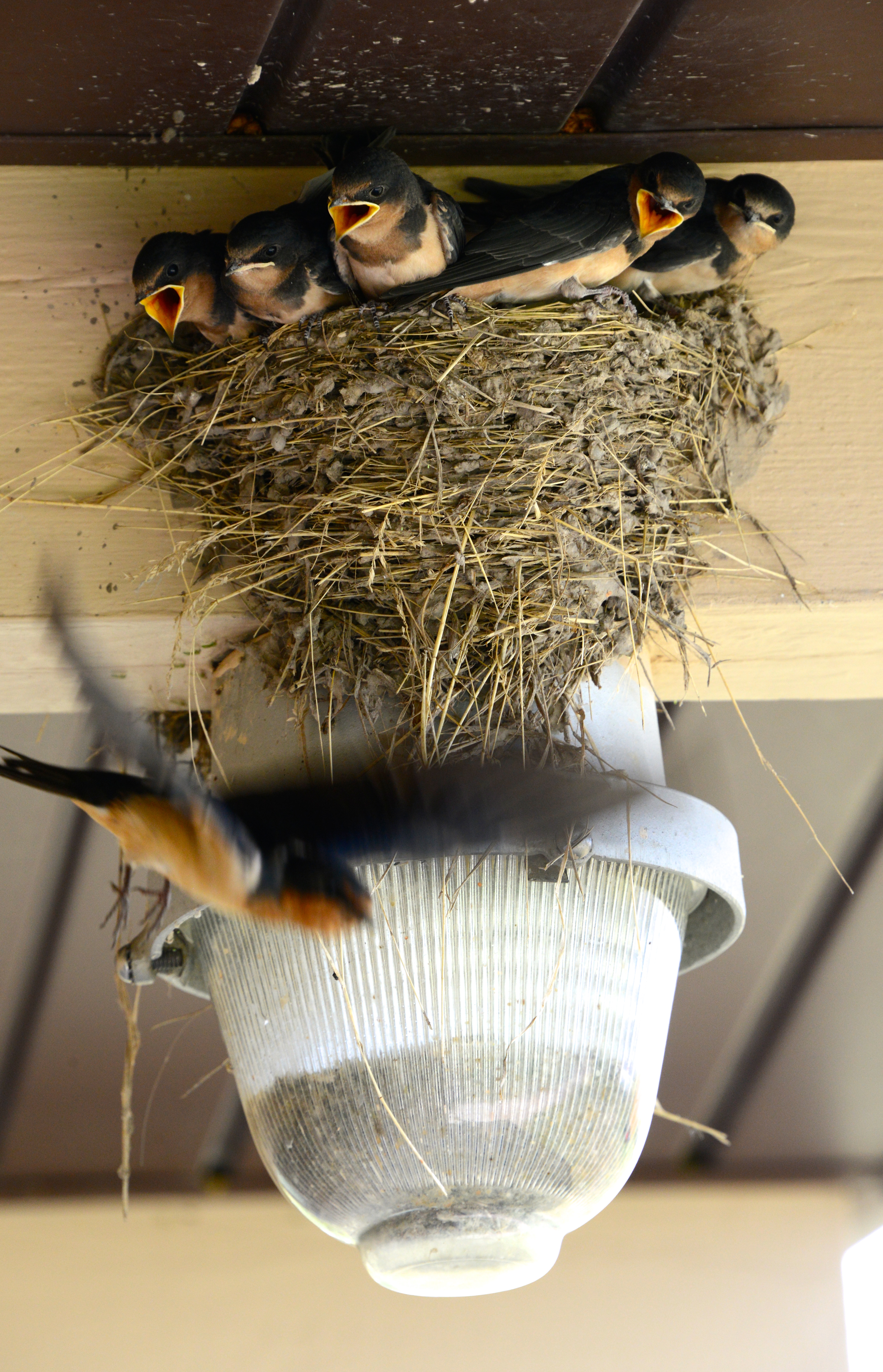
Near camp and underneath an overhang at the showers, we discovered a nest of barn swallows – five chicks and their mom. Angela set up around the corner to capture photos of the mother swooping in to feed the chicks and scored an amazing sequence.
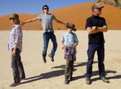
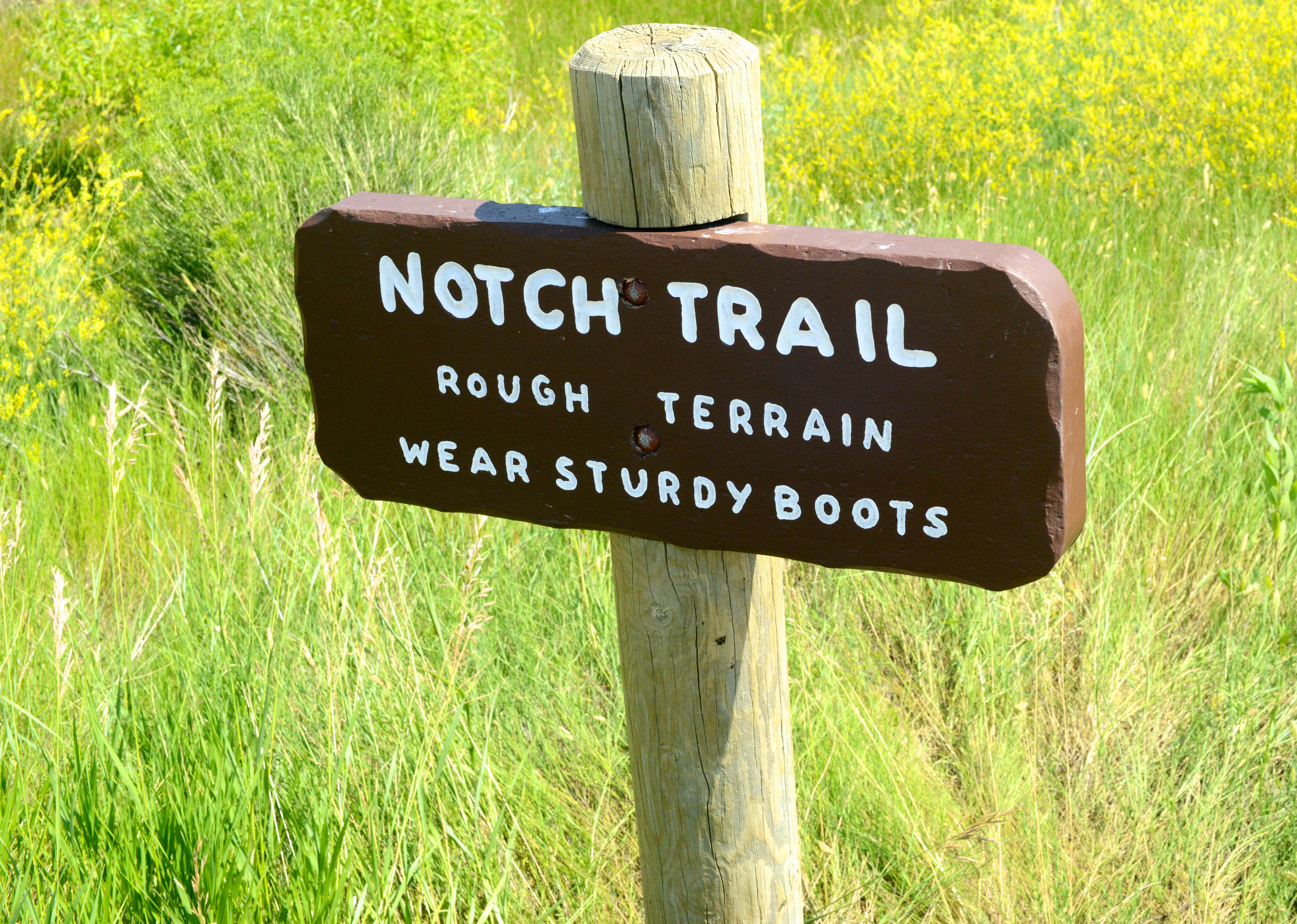
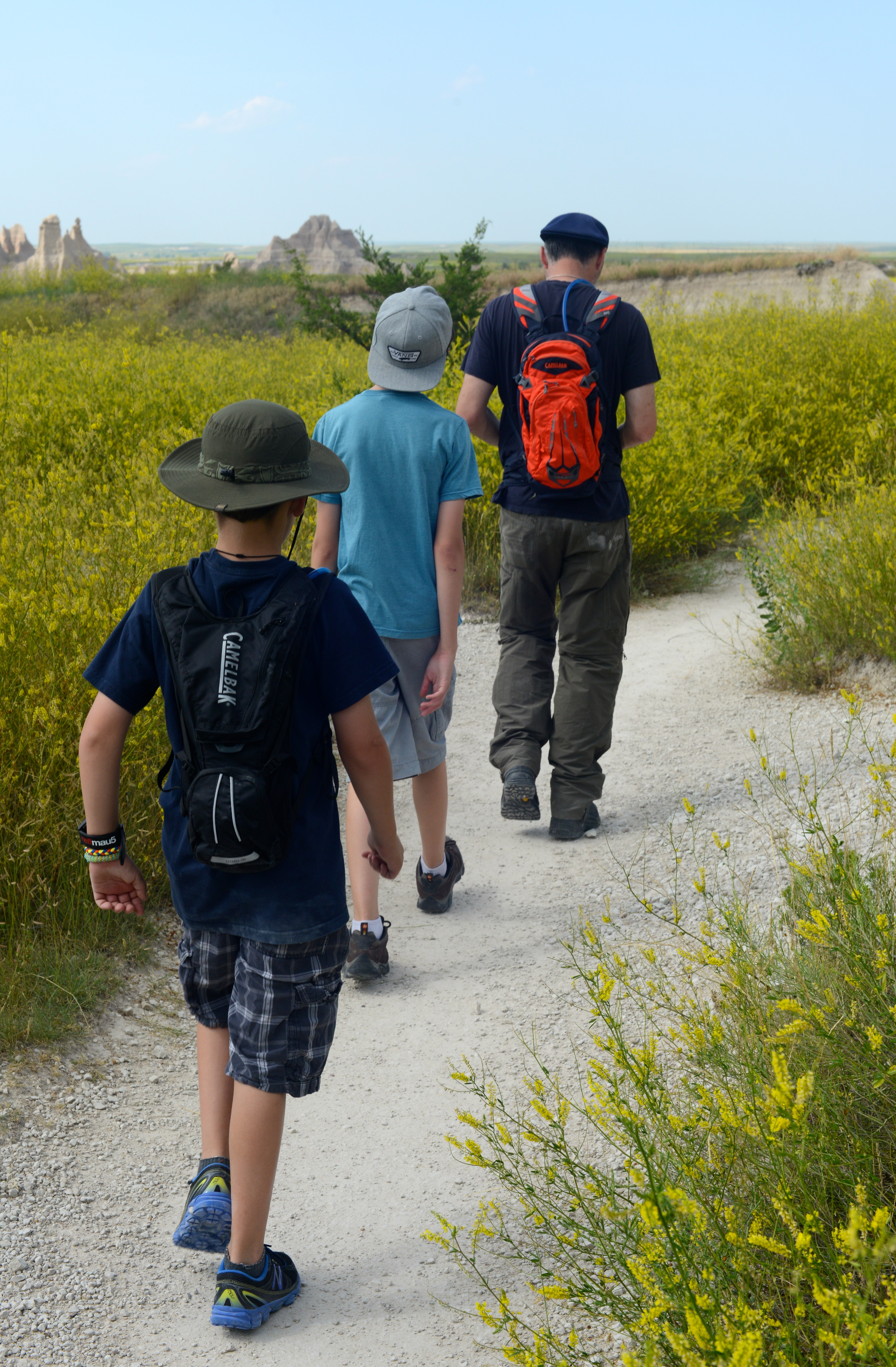
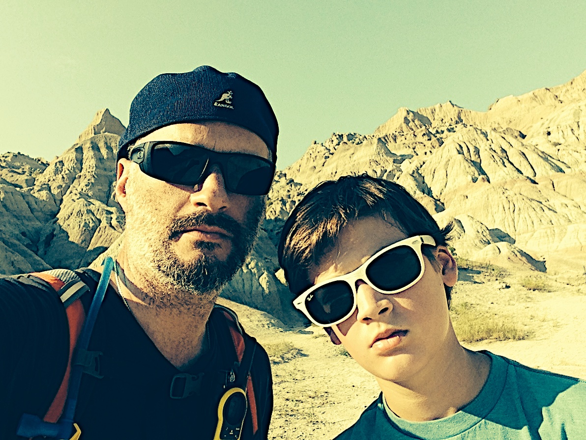
Fueled by a hearty pancake breakfast, we headed out for a short family hike. After several days of cool, almost fall-like weather, the summer sun was pounding on the Badlands and it was nearly 90 degrees. So with filled Camelbaks, we set out to conquer the Notch Trail.
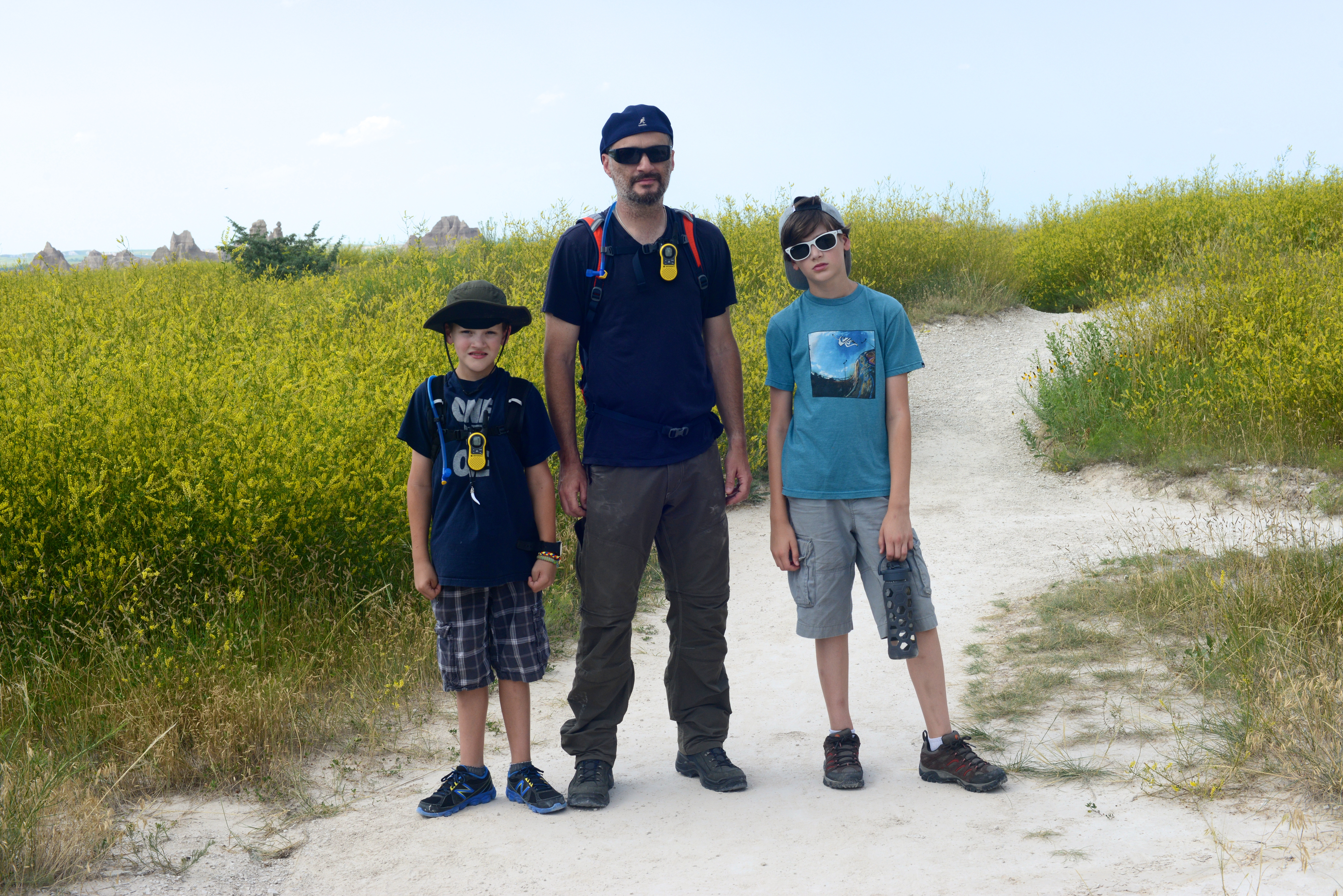
At the midpoint along the trail, after climbing a thirty-foot wooden ladder to a ledge that wraps around a sharp spur, the path turns gravelly and narrow and slopes abruptly away from the cliff face. Since a fall would have been dire and our quest wasn’t for adrenaline, we turned back.

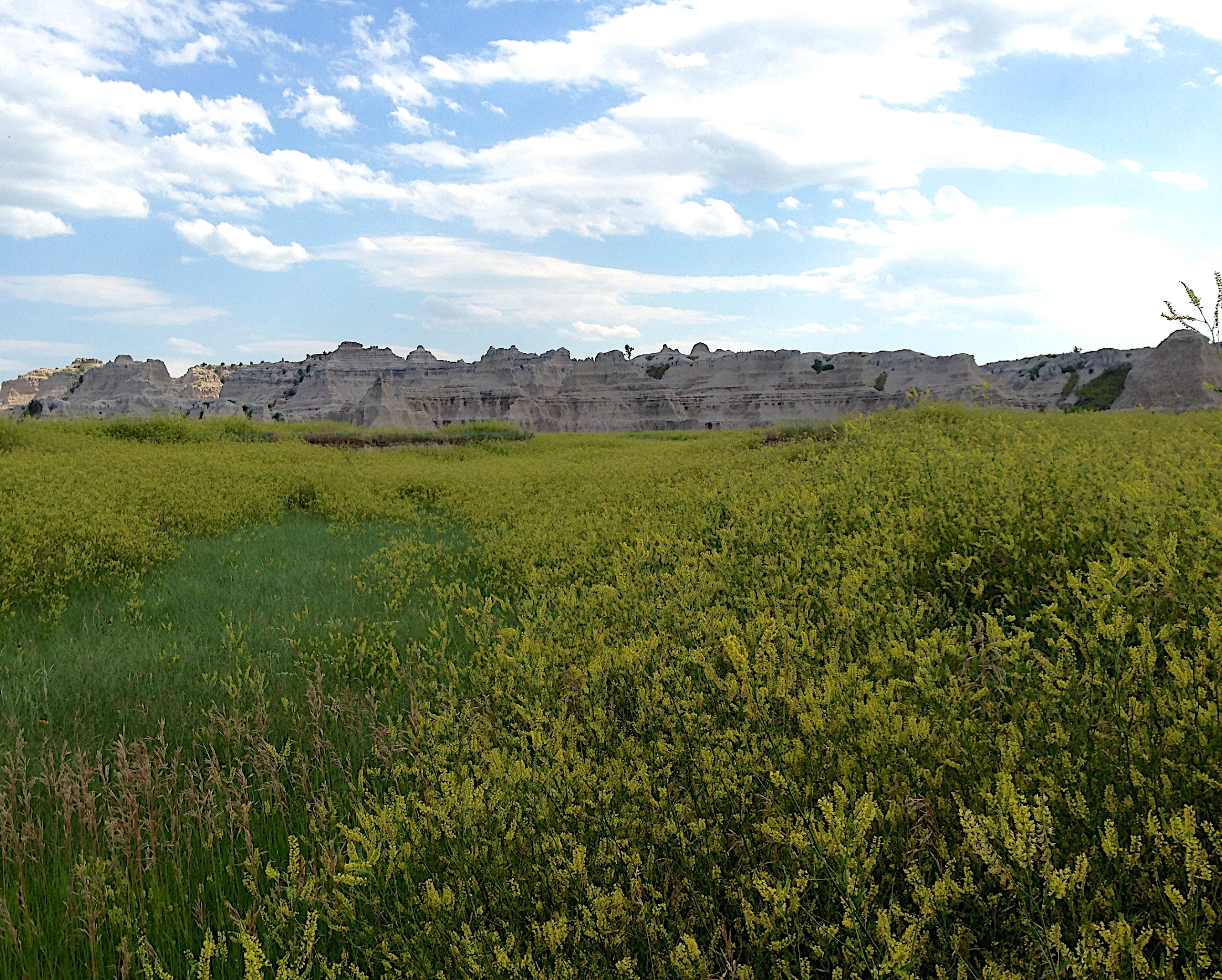
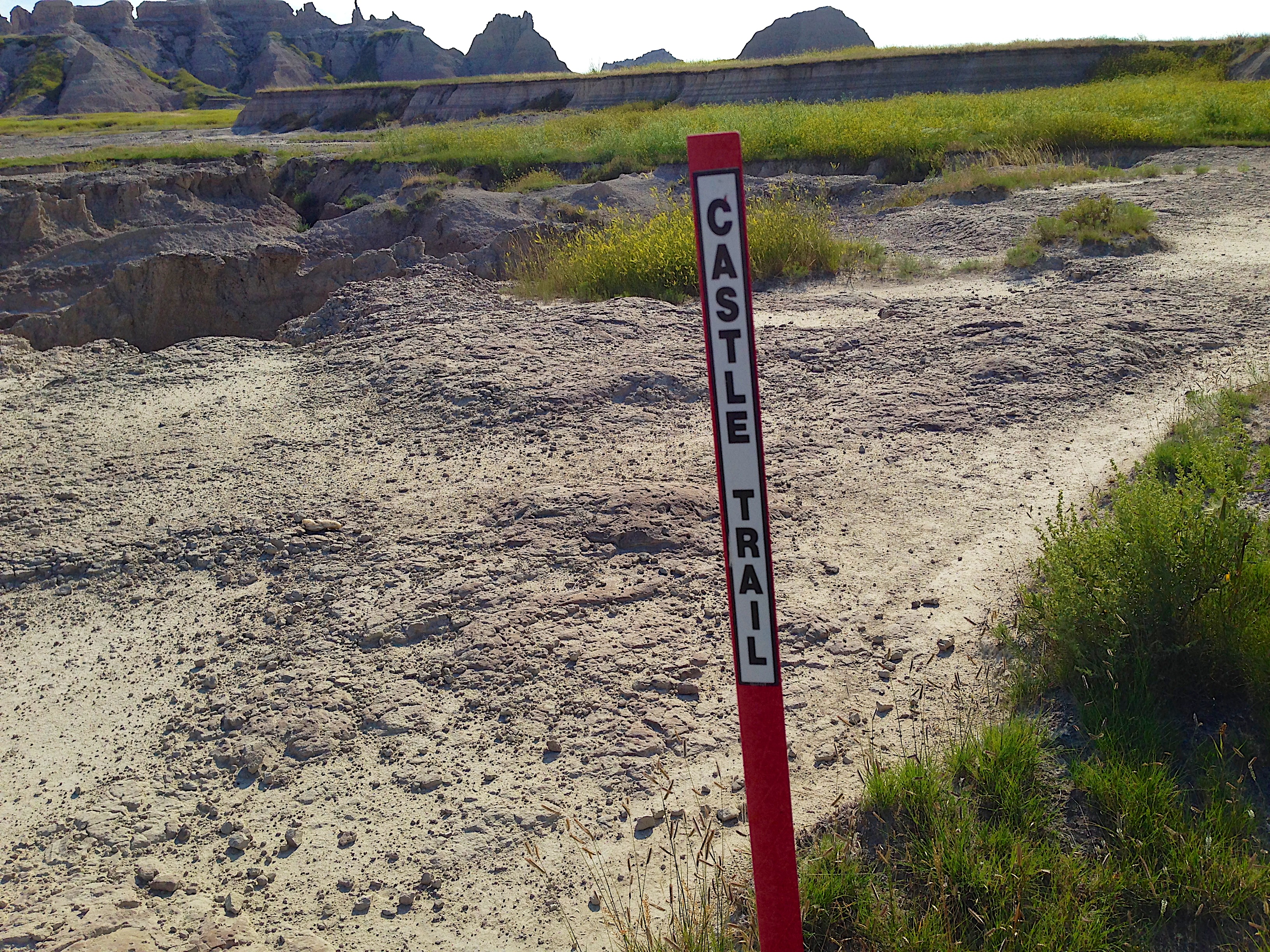
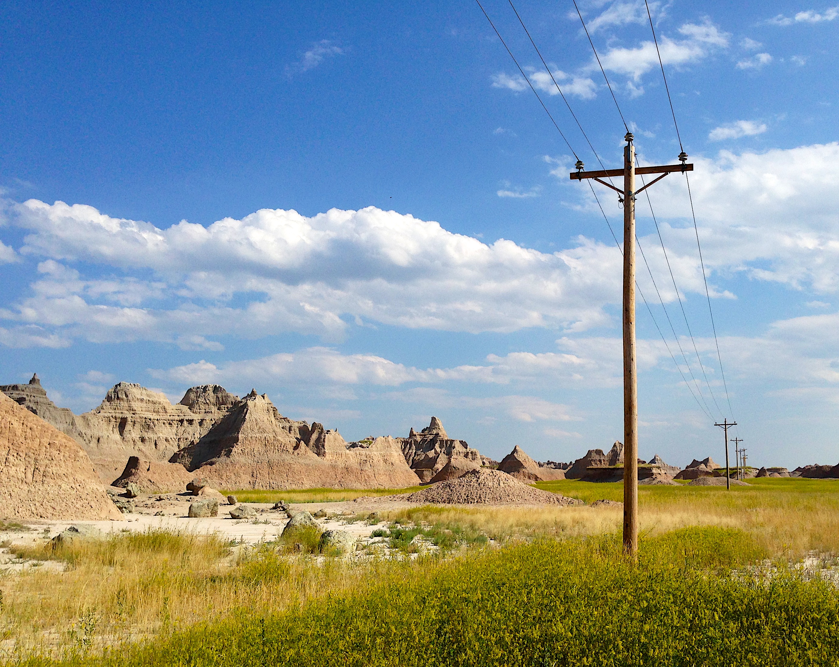
Given our experience the previous day getting close to the terrain and with a strong need to stretch my muscles, I set out alone on the Castle Trail. Mostly flat and buried deep in the grasslands, it cut through the backside of “The Wall” that we stared at from our campsite. Angela decided that she would meet me where the trail intersected with the Old Northeast Road, just to make sure all was okay. I knew I was getting close when I saw the power lines.
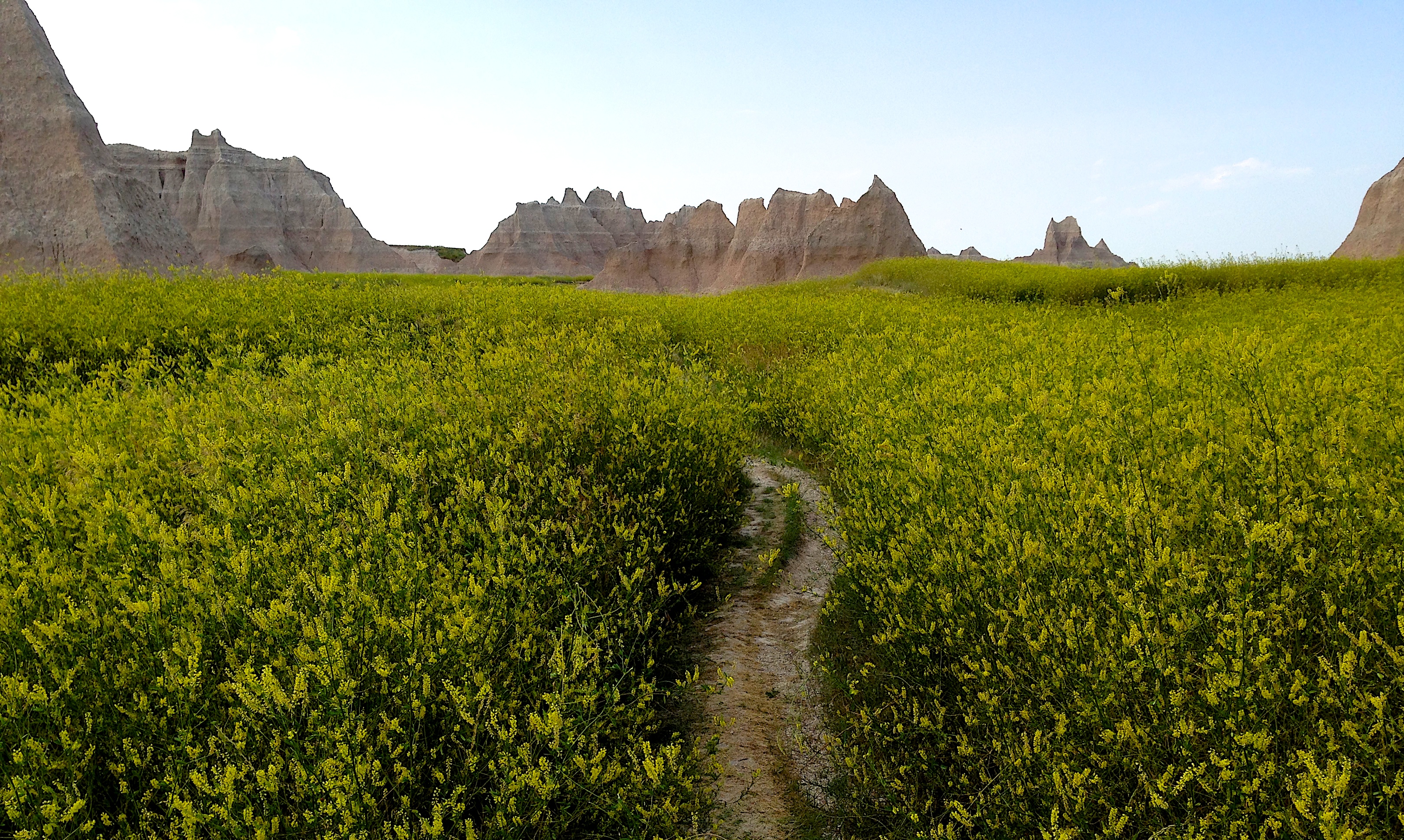
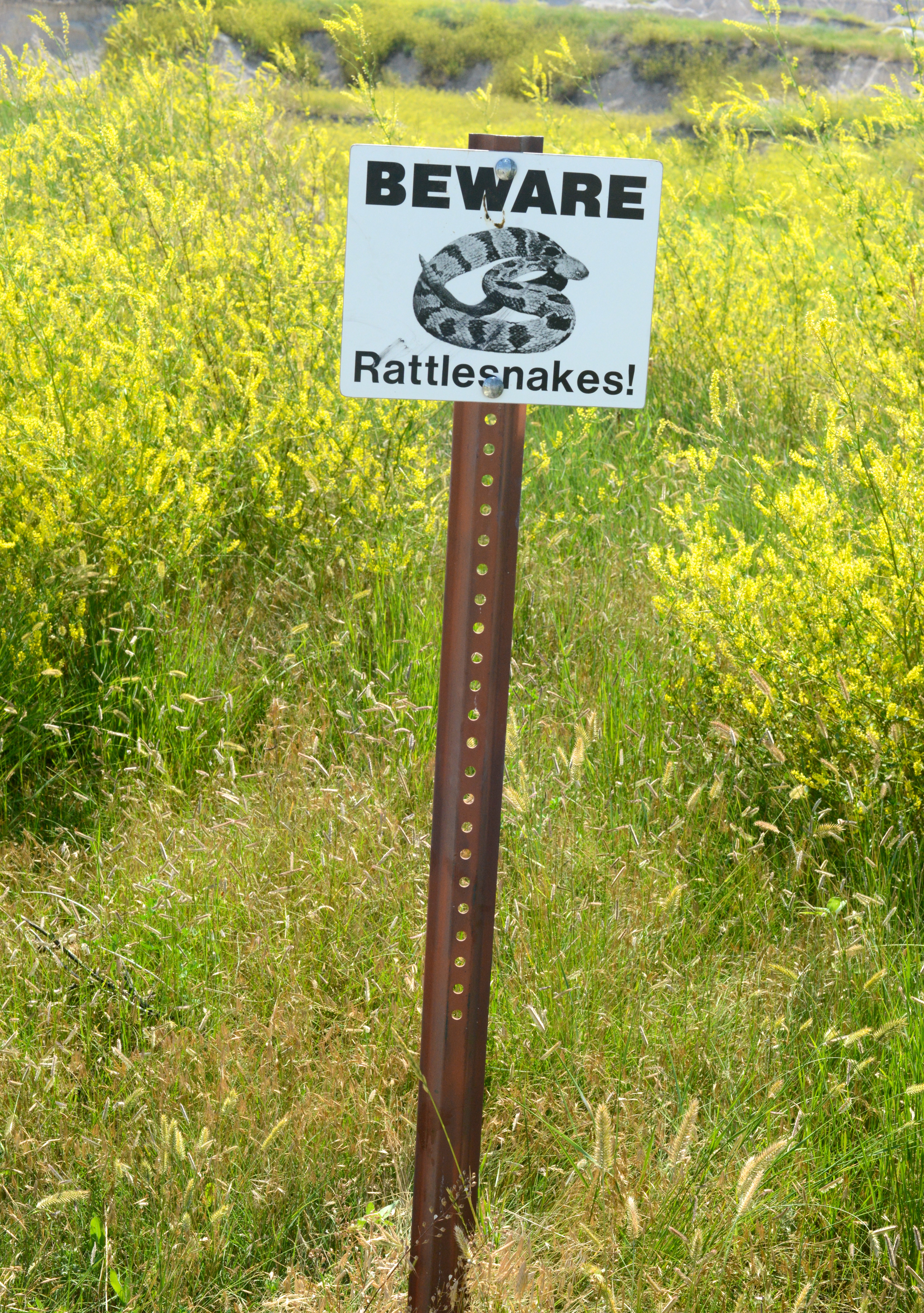
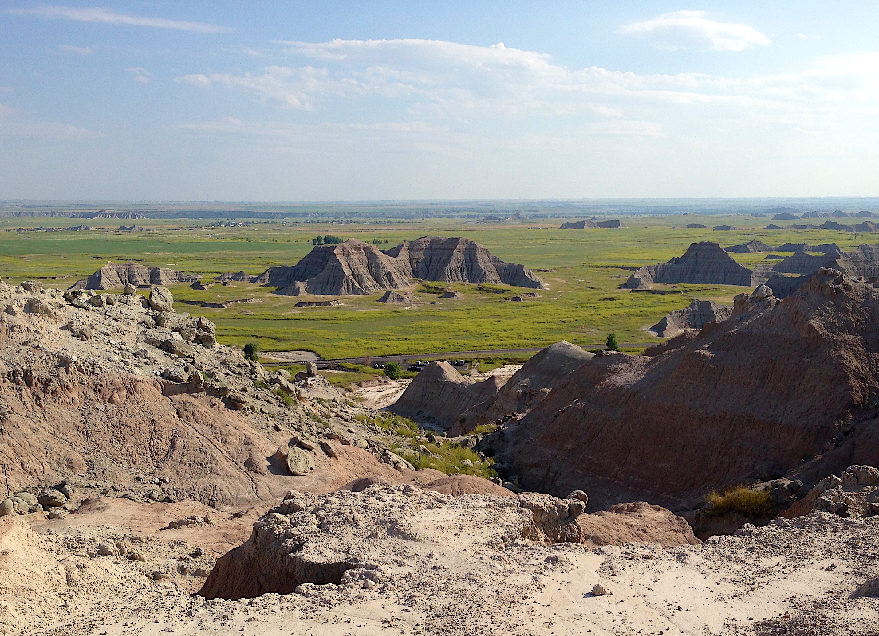
Given the heat and time of day, few other visitors were out on the longer trails and I saw only one other couple. The trail cut past formations that looked like sandcastles, through dry river beds and ‘toadstool’ formations. There were several stretches where I was surrounded only by the chalky and parched earth and felt like I was hiking the face of the moon. I found bighorn sheep tracks in the dried mud flats, fought off a few insects and stayed hydrated. I was on the look out for rattlesnakes but saw none. Nearing the waypoint, I radioed ahead to make sure Angela and the boys were okay and to let them know I was going to continue the trail to the Saddle Pass.
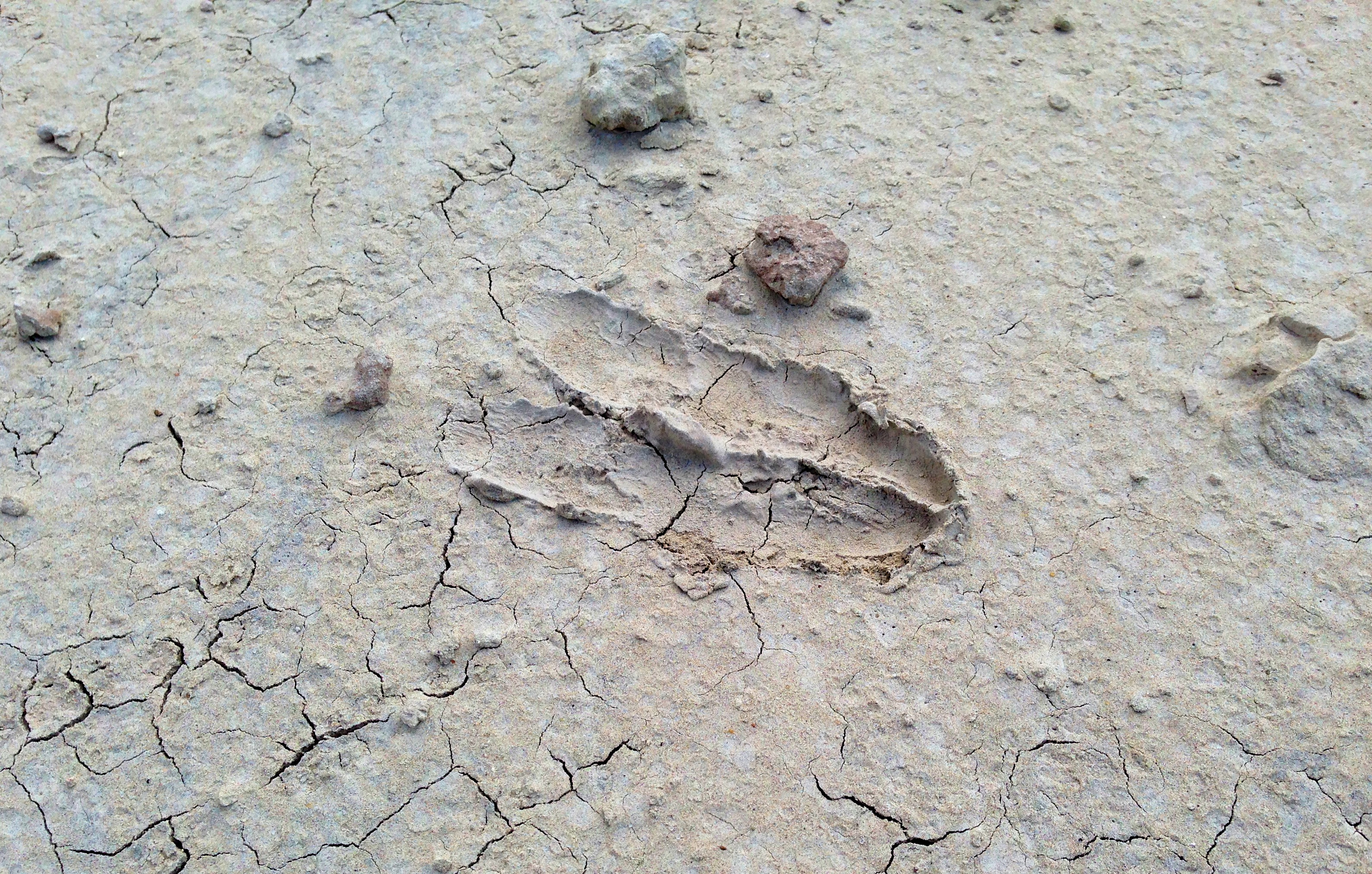
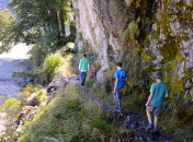
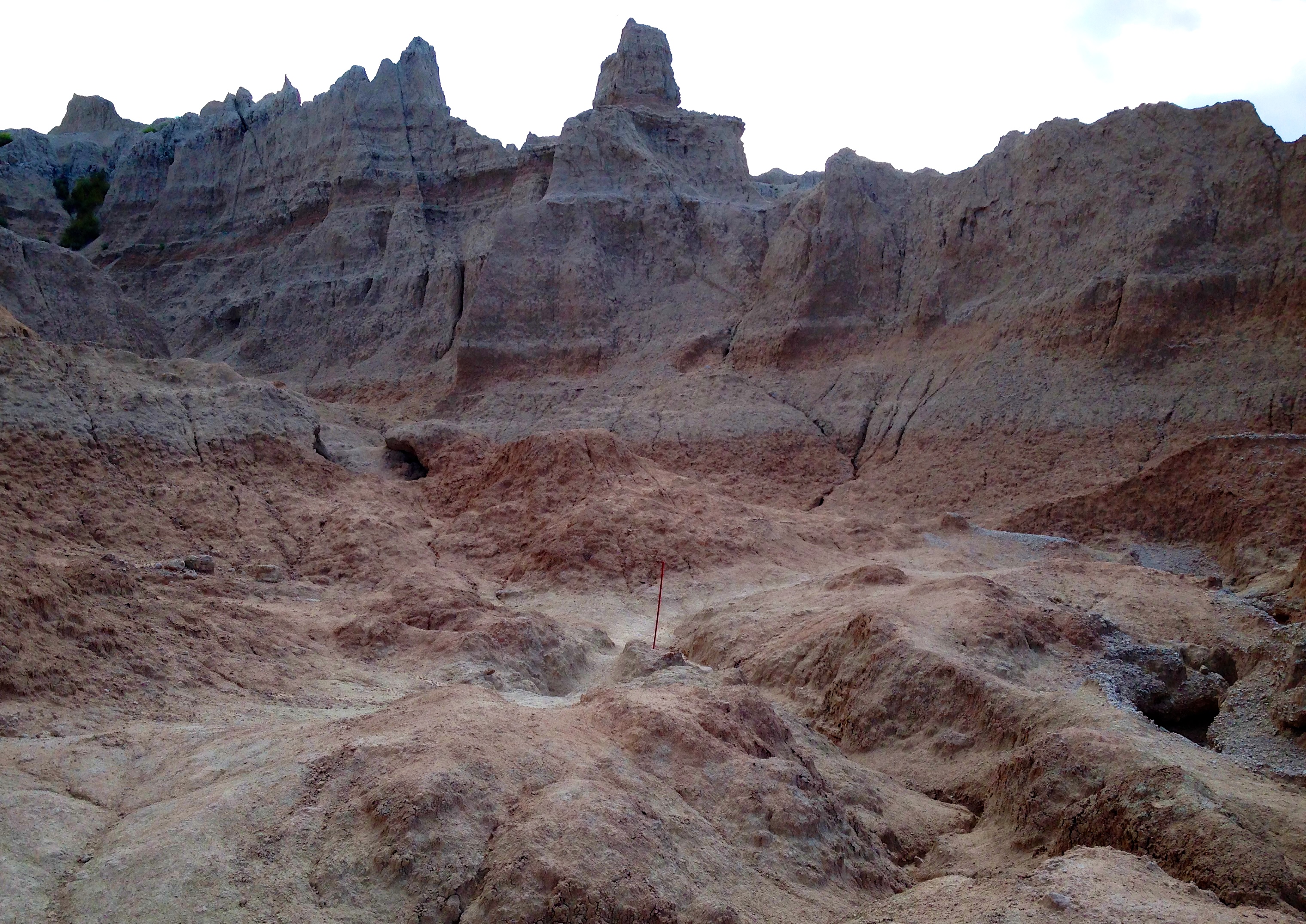
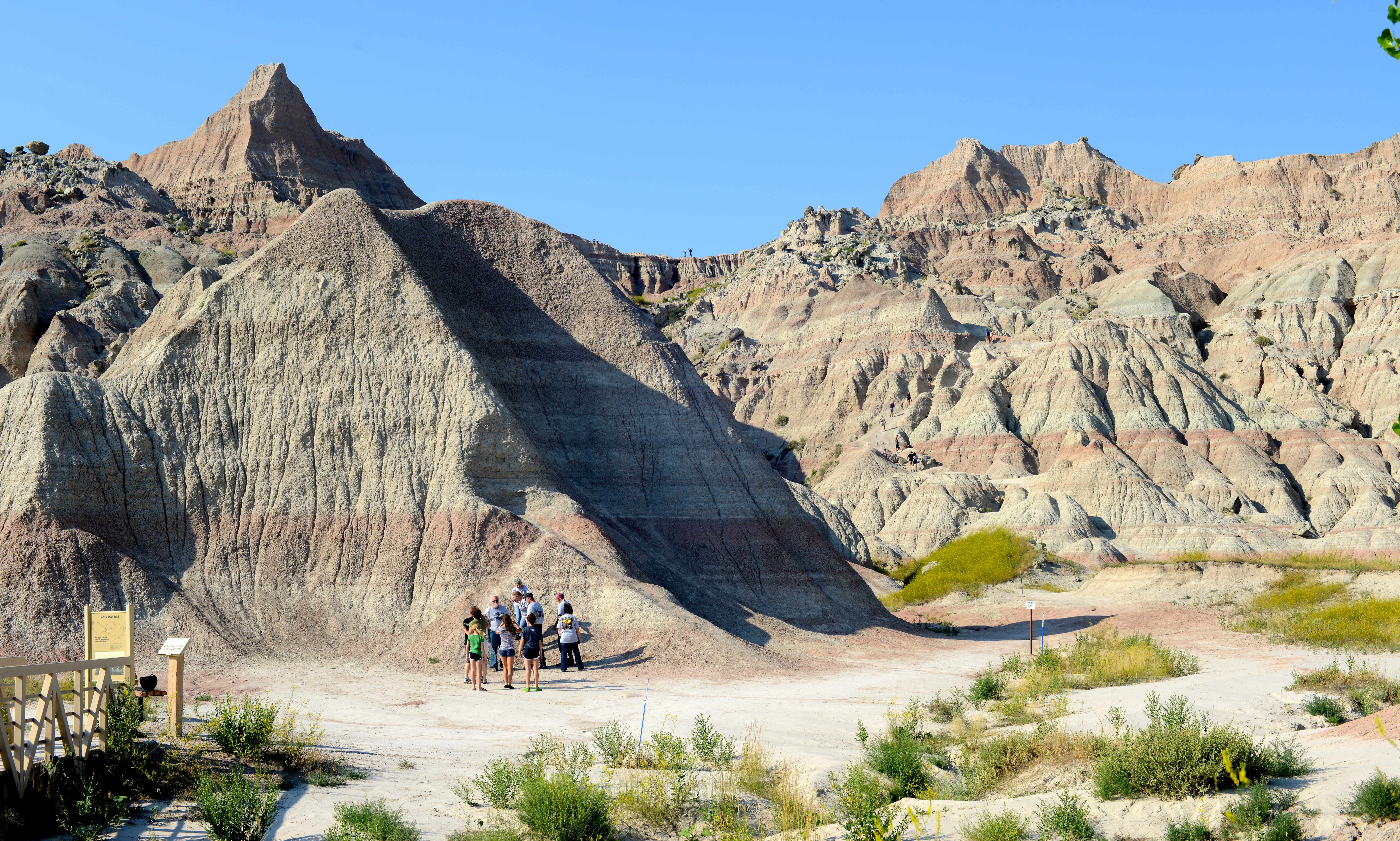
Ronan joined me for the second leg, the longer of the two. We saw more tracks along the way. The trail itself fell apart in a few areas or was hidden beneath tall grasses, and Ronan had to climb an outcrop or two to find the red trail markers. Although the Castle Trail was mostly flat, Saddle Pass, which lead to our pickup point, wound down a narrow ridge to the parking lot 150’ below. Way off in the distance, I could see our truck and radioed Angela to ask if she could see Ronan and me atop the pass (she could – we’re the tiny stick figures on top of the ridge in the last photo). Down we climbed past other hikers who were scooting down on their backsides rather than risk a dangerous fall.
In total, the hike wasn’t much more than four miles. But the solitude of it and the opportunity to spend time with Ronan made it one of the best of the journey.